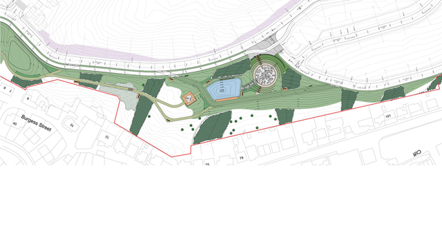
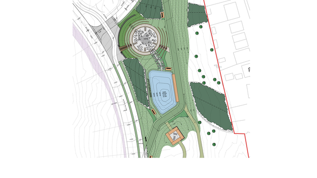
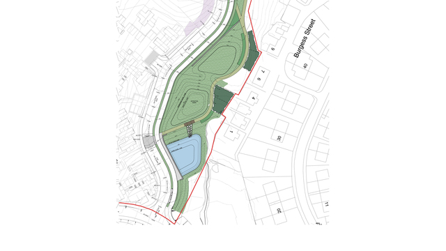
The green corridor forms one of the major parkland spaces of the Staneyhill development, a long term multiphase residential development on the south-western edge of Lerwick, comprising a linear wedge of open space between the masterplan site and the town. The underlying concept for the green corridor is the integration of a range of engineering components to optimise their amenity potential and value, and which can contribute to giving the new parkland a distinctive identity and character.
A key component of the parkland will be a sequence of ponds, basins and swales primarily aimed at controlling, attenuating and treating surface water runoff from the residential development areas. The aim is the integration of these engineering features through their design treatment and relationship with existing and proposed levels, so that they contribute positively to the character, identity, biodiversity and amenity of the green corridor. These features will celebrate the flow of water through the site, creating a diverse range of water-based elements which can provide interest even during dry periods.
By their nature, the surface water features are artificial interventions into the naturalistic hillside of the site, requiring precise level areas of containment to attenuate and control water run-off in contrast to the irregular hillside slopes. Using bold geometric forms assists in uniting these interventions into the natural topographic pattern, so that they appear as an integrated sequence of dramatic earthwork forms which contribute to the character and identity of the green corridor.
A key component of the landscape approach to the green corridor is to reintroduce a feature to the Staneyhill landscape that has long since been disappeared: trees. However, it is recognised that this location presents a unique and challenging environment in which to successfully establish new planting, due to the combination of climate and ground conditions. To meet this challenge, selective robust tree and understorey species suitable to exposed northern coastal environments will be planted in substantial blocks throughout the green corridor. Planting blocks will comprise of transplanted nursery pioneer and climax species planted into inverted raised turves to increase soil depth and nutrient availability.
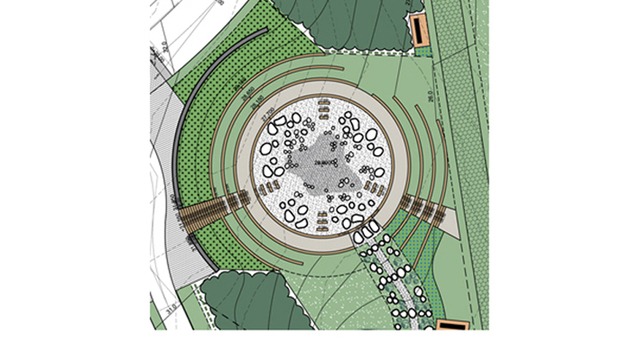
The green corridor offers opportunities for unparalleled views outwards from the site to the north, east and south, across the town centre and harbour, along Bressay Sound to the sea beyond. The former WWII gun emplacement, located on a locally prominent rocky knoll, is both a place of historical and archaeological importance but which also provides a magnificent panorama over the town and the surrounding landscape. The significance of this location will be celebrated as a key ‘event’ space and destination along the informal footpath route through the green corridor.


